

Rarely visited.
Hook Canyon is a short canyon that runs north from the pass between Cathedral Mountain and Mount Majestic. It is a convenient and quick exit route from the summit area of these peaks, descending to the bench below the north face of Cathedral, from which the West Rim Trail is easily accessed.

Canyon Profile
Logistics

RATINGS
3AII ★★☆☆☆

TIME REQUIRED
5-8 Hours

PERMIT
NO - A permit is not required for ascending peaks in Zion.

SEASON
Summer or fall. The north-facing canyon often holds snow into early summer.

LONGEST RAPPEL
150 feet (50 m)

SKILLS REQUIRED
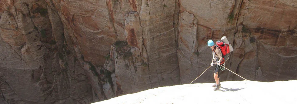
The approach route requires some exposed, easy rock climbing. The canyon requires no special skills.
Equipment

ESSENTIALS
Helmets, rappelling gear, webbing and rapid links.

COLD WATER PROTECTION
None

DRINKING WATER
None. Bring Plenty.

FLASH FLOOD RISK
Low

ACCESS
Begins and ends at Grotto Trailhead.

Getting there
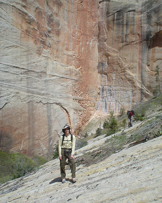
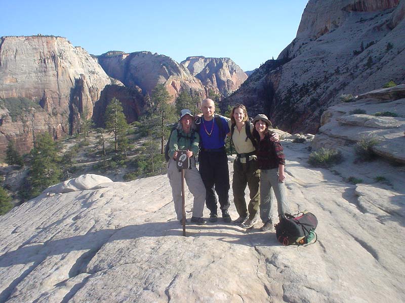
Start by hiking up the West Rim trail and attain the summit plateau of the Majestic/Cathedral massif. The best route is probably Behunin Ridge – the ridge that climbs toward the northern summit of Majestic Mountain from the top of the first rappel in Behunin. Climb steeply from the flat slickrock, then cut left and avoid the sub-peak and attain a loose, steep, brushy gully heading toward the top. The last pitch follows the crest of the ridge, and weaves through trees on steep 4th-class rock to the plateau rim. The ridge is south-facing and steep, and unpleasant in all but the coolest weather.
Cross the Manzanita to the col between Majestic and Cathedral.
The Business
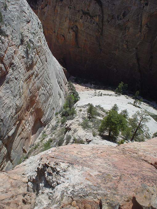
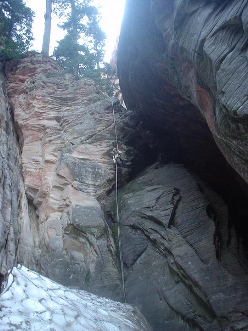
Pick a tree right near the head and rap in. Downclimbing and a couple rappels lower in the canyon lead to the bench.

The Exit
Hike out the mouth of the canyon and a ridge to the left, staying on the slickrock, to the West Rim Trail, then down to the Grotto Trailhead.
Trip Reports

Maps
Click for higher resolution


