Among the best.
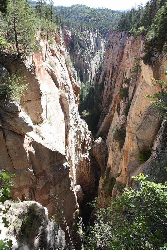
Boundary is a sweet canyon tucked between "The Big Ones" up on Kolob Terrace, and is one of the best canyons in Zion. It makes a nice daytrip exiting out the MIA, or a great way to access Kolob Creek for a high-class, technical backpack trip. The technical part of the canyon starts right AT the Park Boundary, thus the name. The canyon itself is on BLM land next to the Park.
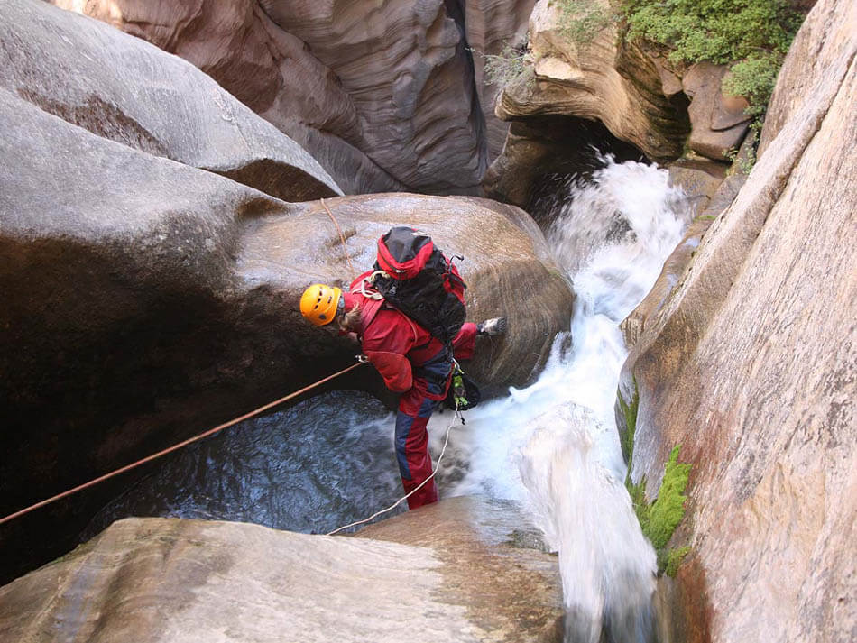
In the spring, the canyon runs with snowmelt and can be too burly. By the time the West Rim Trailhead opens, it may or may not be down to a reasonable level. After big winters, it runs strong all summer, and full wetsuits are definitely required. In dry years, it may dry out in summer - hard to say when. When wet, Boundary is as cold as Imlay or Kolob - bring plenty of warmth or suffer mightily.
The walk from the intersection with Kolob Canyon to the MIA exit is IN Kolob Creek, so be sure to check the release level of the Kolob Dam by calling the Washington County Water Conservancy District (435-673-3617) AND to check the flow where the Kolob Terrace Road crosses Kolob Creek, 1.2 miles north of the Lava Point Road. Hiking in Kolob Canyon with more than 10 cfs, even just to the MIA exit, can be challenging and slow; but there are no technical obstacles so it is certainly possible.
Using the MIA Exit requires a permit from the LDS Church, the landowner. Thankfully they have made this easy to get. Send an email to requestRLA@ChurchofJesusChrist.org. You will be sent an auto reply email with info and docs that need to be completed. Boundary Canyon itself is on BLM land.
Boundary Canyon is a Class C canyon when wet and Class C techniques should be used. Carry an extra rope in case you get one stuck. Perhaps two.
Canyon Profile
Logistics

RATING
3A/C III ★★★★☆

TIME REQUIRED
6 to 10 hours (as a day trip) or can overnight and exit via the Narrows

PERMIT
Only if camping in Kolob Canyon and exiting via the Narrows

SEASON
Summer or fall

LONGEST RAPPEL
100 feet (30 m)

ACCESS
Boundary is commonly done as a day trip out the MIA Trail. Park at the West Rim Trailhead near Lava Point. The MIA Trail returns to this point. For a two-day trip enjoying the full glory of Kolob Canyon and the Narrows, start from the West Rim Trailhead (car spot, shuttle service) and exit at the Temple of Sinawava.

EMERGENCY
Though not INSIDE the Park, any rescue in Kolob or Boundary would involve the NPS SAR team.
Zion Wilderness Desk: (435) 772-0170
Zion EMERGENCY: (435) 772-3322
Equipment

ESSENTIALS
Helmets, rappelling gear, webbing and rapid links

COLD WATER PROTECTION
Full wetsuits or drysuits when it is wet.

DRINKING WATER
Once in the canyon, clear water is usually available to filter. Water is no longer available at Pipe Spring on the MIA exit.
Difficulties

FLASH FLOOD RISK
Moderate: small, wooded collection zone, but the canyon itself offers prolonged narrows with no escape areas.

SKILLS REQUIRED
Class C canyon techniques recommended. Be careful with the pulls, and carry an extra rope in case you stick one. Cold conditions management.

ANCHORS
A mix of bolted and natural anchors. Bring webbing and rapid links.
Seasonal Adjustments
In winter and spring, the area is likely blanketed in snow. In early summer, the flow may be too heavy for safe passage. The reservoir often releases water in late fall, so be sure to check the flow.
Approach
Note: this is a revision to the approach in the Zion: Canyoneering guidebook.
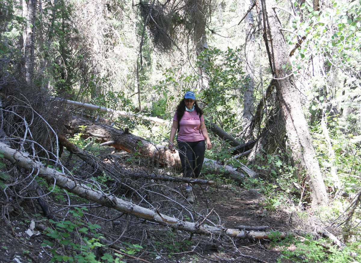
The approach to Boundary starts the same as for Kolob Canyon. Park at the West Rim Trailhead. Walk back along the road a few minutes to the big turn. Continue straight north across the meadow to a gap in the trees, a post and the start of a road. Follow the road down a few feet, then follow it left and traverse steeply downhill 15 minutes to the bottom of a hill and a meadow that holds the spring at the head of Boundary Canyon. If the spring is running, Boundary is likely to be running too. Follow a logging road right and down alongside the stream through lush woods.
Follow the grown-over logging road east, mostly along the right side of the drainage, to the Park Boundary (wire fence) and the head of the canyon. Allow one hour walking time to the head of the canyon.
Note: The MIA road is not always locked but could be locked at any time. Please DO NOT drive the MIA road without permission; doing so is not only illegal, but it estranges the relationship between the canyoneering community and the thus-far friendly landowners.
The Business
Note: this is a revision to the description in the Zion: Canyoneering guidebook.
Find a tree to sling at the head of the watercourse.
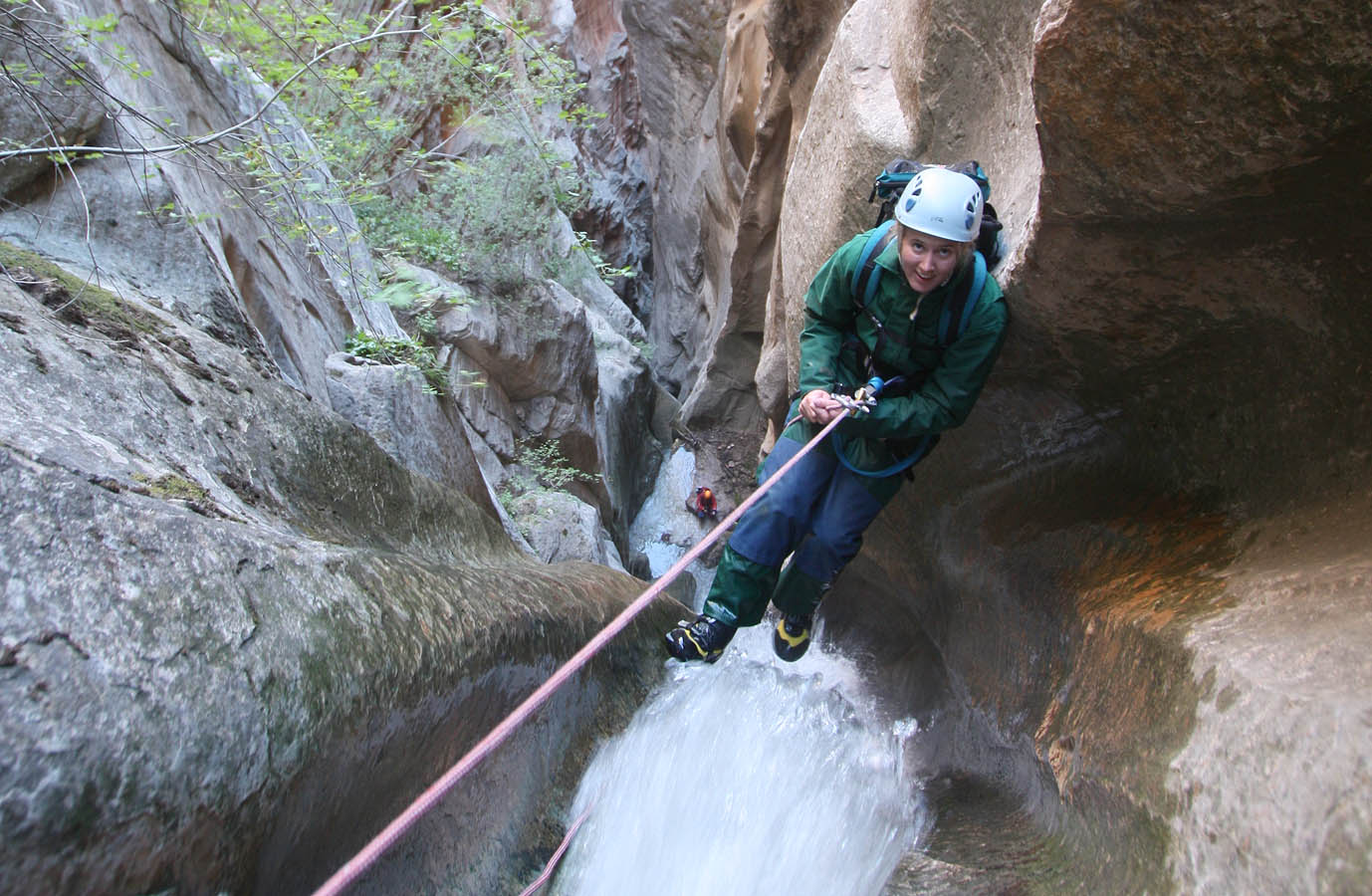
R1: 100 feet (30 m) Rappel past several waterfall steps to a round pothole with a log in it and a tree on the side. A two-bolt anchor is on the wall to the right (looking down canyon).
R2: 100 feet (30 m) past several ledges to a large pothole ledge. Make sure the rope does not cross any remnant cairn anchors where it could get stuck.
R3: 50 feet (15 m) off a tied-off log to a ledge. Lots of wood debris is in this area, and it might be unstable.
R4: 40 feet (13 m) off a single new 1/2” bolt overlooking the drop. (We are working on this - should be two bolt anchor soon. - May 2021)
R5: 80 feet (24 m) off bolts down a nice flute. Wonderful!!
R6: 100 feet (30 m) off bolts down a great flute. An interesting arch!
R7: 30 feet (10 m) off natural anchors.
R8: 30 feet (10 m) off natural anchors.
R9: 70 feet (21 m) off bolts down a steep wall to the bottom of the canyon.
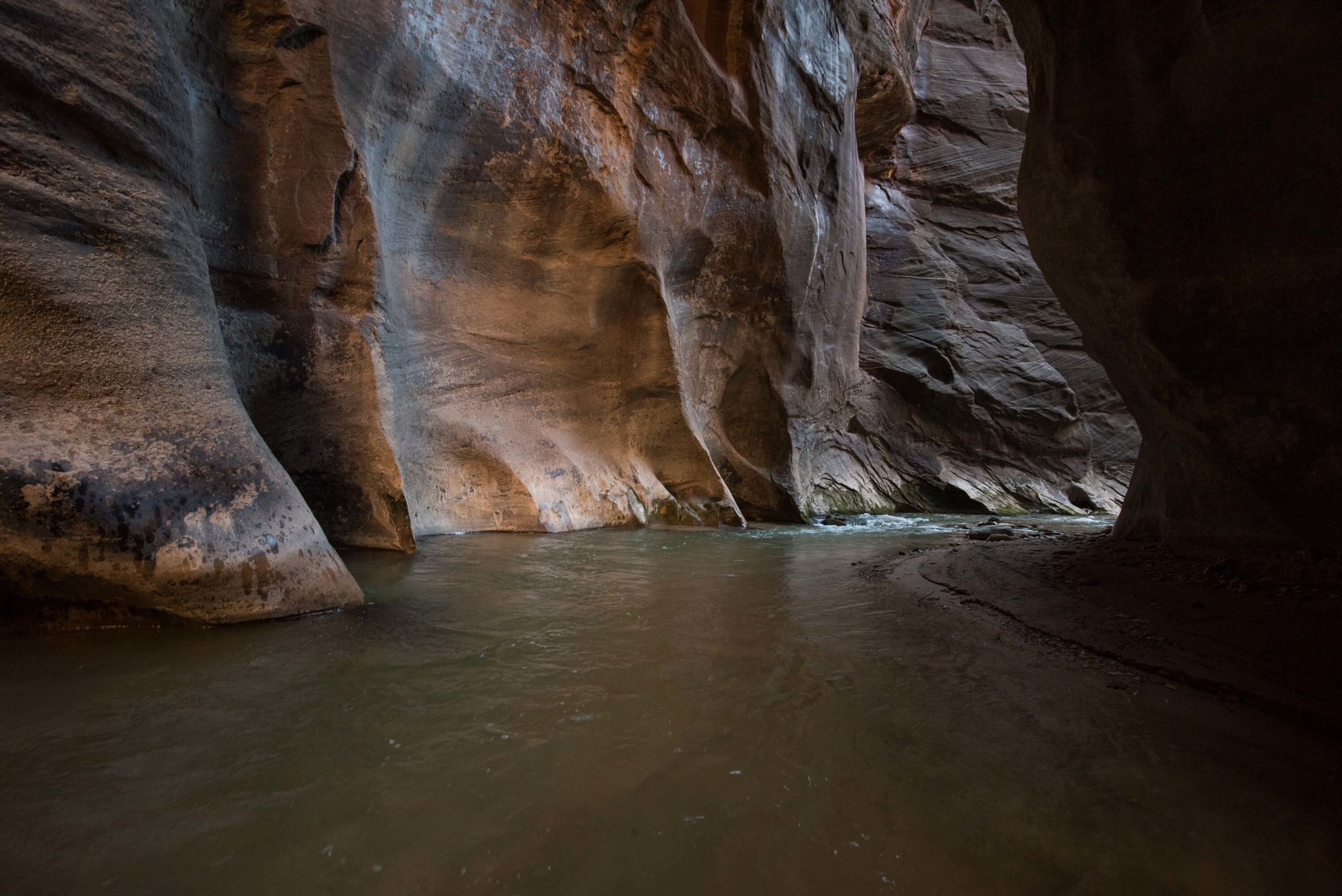
The rappel sequence leads to the floor of a beautiful canyon, lush with vegetation and huge sweeping walls. Descent of the lush, rugged canyon to the intersection with Kolob Creek takes about 1 hour.
The Exit
March down Kolob Creek to the MIA Exit and back up to the West Rim Trailhead, OR hike down Kolob Creek to The Narrows and out to the Temple of Sinawava.
THE MIA EXIT:
While the MIA Exit is not hard to find, many a canyoneer has walked past it due to inattention. The MIA should not be attempted in the dark. The first time, most parties will require at least 2 hours for the MIA, plus another hour to hike the roads back to the trailhead.
Descend Boundary Canyon until it intersects with Kolob, a larger canyon. There is a large flat rock right at the intersection that makes a great place to remove wetsuits and harnesses. Between Boundary and the MIA there are no rappels and usually two places where deep wading or a short swim is required.
From Boundary, Kolob creek is rocky and wide for about 20 minutes then enters a short (5 minute), tall narrows. The canyon opens out again and proceeds as a rocky streambed for perhaps 20 minutes then again enters a tall narrows, which is considerably longer (15 minutes). Approximately 10 minutes after the second narrows section, MIA canyon comes in on canyon right as a large, indisputable, lushly-vegetated and steep (but climbable) slope. There may be two big ol' logs in the streambed and cairns often mark the intersection. This is the only possible-looking exit since Boundary due to tall, unbroken canyon walls.
The MIA Exit - more details
The MIA Exit
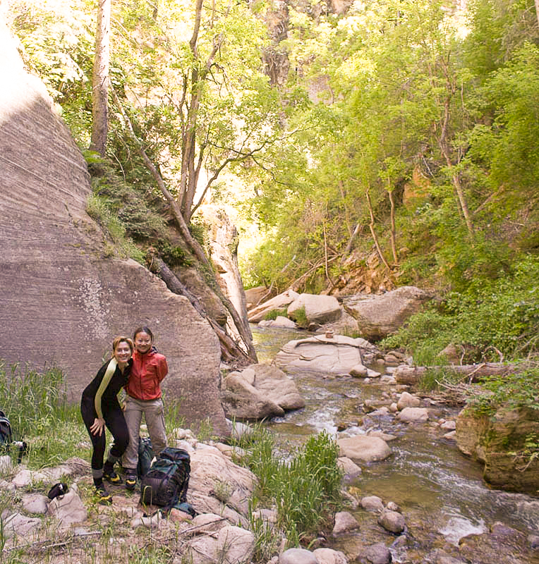
To the right of Anna and Yuhua.
The established route changes from time to time… this is the main route as of fall 2018. The route gets enough traffic to be easily followed in all but a few spots. Please stay on the established trail; this is the easiest route. (The route has recently deteriorated a lot, and is more-challenging than in previous years (May 2021)).
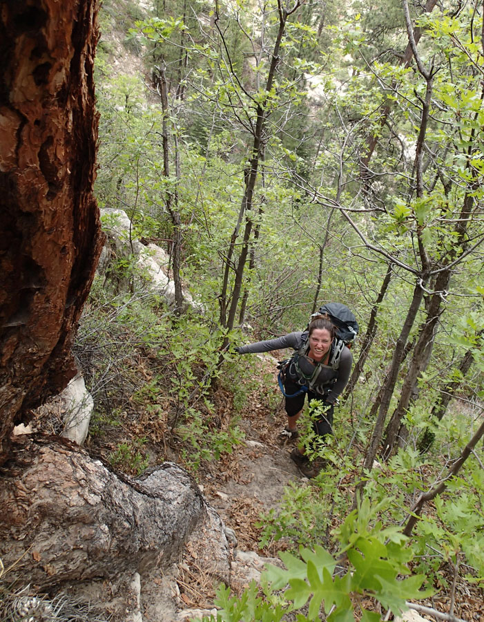
Climb the steep, wooded slope above Kolob Canyon, starting behind several large rocks in the streambed, then work left at the toe of a rock buttress. Traverse left then down to the top of a short pour over. You are now in the main MIA canyon watercourse. Scramble upcanyon. A short wall is surmounted either directly or by climbing a ramp on the right and stepping back left. At the next obstacle, climb a steep slope on the right, then traverse easily back into the main drainage. After another short rock climb the main watercourse ends at a 40-foot (12 m) dryfall with a fist crack in the back. Stop 30 feet (10 m) back from the dryfall and ascend the noticeably smaller drainage on the right.
Follow the drainage upward to a trail climbing straight up the left-hand slope. Follow this trail several hundred feet up, then traverse right to a wide pass that overlooks the upper basin of MIA Canyon (30 to 40 minutes to this point).
Examine the complex terrain ahead. The upper basin is bounded on the left by cliffs and then a slinky little slot canyon (MIA Slot) dropping steeply into the basin. To the right of this is a complex, steep and tree-covered face that slides over into a deep slot canyon on the right. Take careful note of three snags (dead trees) at the canyon rim above the middle-left of the complex face – the three snags are where you are going.
Descend the sandy trail to the bottom of a wash. Turn left and follow the wash for 10 minutes or so then up the hillside on the right to the crest. Find a way to get down into the wash on your left, then follow this wash up to the bottom of the MIA slot on the left. The slot is well worth a few minutes of exploration.
Follow the main watercourse past automotive debris washed down from above. Hike five minutes along the basin floor until it turns right and heads for the right-hand wall and slot. At this point, climb steep dirt directly up the fall line, next to a shallow watercourse on a fairly good social trail.
To this point, the dreaded MIA Trail is not so bad. It gets worse.
Follow the trail steeply upward. It climbs up a long way, then traverses to the right, and then crosses a watercourse below the three snags. Follow the trail as it zig zags upward. Near the top, the trail is less well-defined and climbs a few sections of steep, loose rock. Be careful of partner-generated rockfall. Ascend to the road.
Back to the West Rim Trailhead
From the top of the MIA Route, once on the logging road, turn left (south) and hike about 1000 feet (300m) to a picnic area. This is the Pipe Spring, but the source became contaminated so it in no longer safe to drink.
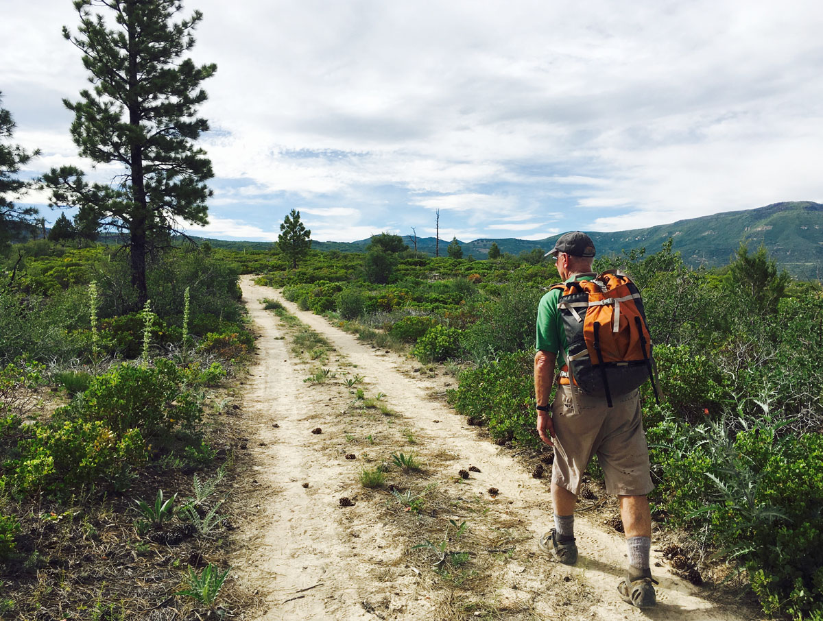
Hike back along the road 300 feet (100m) to the height of land and take the rough road that heads upward. Follow this up to better roads and the source of the spring. Follow the roads (generally north and west, but always up) to the West Rim Trailhead. Allow an hour for the MIA Route and an hour for the road walk back to the Trailhead. First time MIA'ers are likely to take longer.
(ALT hiking route): a more-shaded and less-steep hike out can be made by hiking north along the rim. The road works left to get around a drainage - leave the rim here and follow roads switchbacking up the ridge… eventually leading back up to civilization.
EXITING DOWN KOLOB CANYON AND OUT THE NARROWS
From the MIA exit, it is a substantial hike out Kolob to The Narrows. Most people will want to camp somewhere along the way, though in dry conditions finding water can be a problem. There is usually water at the MIA exit, but it often fades into the ground not far past there. It only reappears to provide a brief, amazingly cold swim.
A permit is required for day use and overnight use. You can TRY to reserve the campsite at the confluence of Kolob and The Narrows, but it is challenging to get that far. Best to take a “Kolob Canyon at large” camping permit. If you camp within a mile of the MIA, you are outside the park and do not need a camping permit, but you still need a Narrows day-use permit for the next day.
Continue down Kolob Canyon 3.1 rugged miles to the intersection with The Narrows. Hike down The Narrows 6.2 miles to the Temple of Sinawava.
Trip Reports
Author's Experience
I first descended Boundary in the fall of 2002 in dry conditions with Kurt and Melody Bellock, Alicia Scotter and Allen Sanderson. I have repeated it about once a year since. It is more fun when the waterflow is high.
Maps
Click for higher resolution.


