Trail of Tiers Canyon, Grand Canyon
It was the project of others. Dan Ransom had been spying it for a few years. So had Rick Green. When I considered that they may be talking about the same canyon, I put them in touch with each other and proposed some dates. Bill Wolverton is consulted and begs on. Seems he has been to the canyon's rim years back and wants in. Then it turns out that Jenny West had scouted the canyon decades ago. So everyone but Jim Clery and I have "history" with the place. Dan has a medical issue that takes him out of the mix. The man is running in bad luck after a few years of "off the charts" adventure. He is doing better now and headed to the Grand Canyon soon.
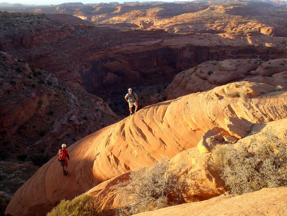
The canyon is a full day's hike to even get near it. Expedition canyoneering ala the Grand Canyon. The packs are large and heavy. Much sand trudging, but the vistas reward your efforts. Not a drop of water seen for over 8 miles. From the rim of the river, 600 feet above, we scout routes among the cliffs. We brought rope to set drops, as the canyon is still miles away on the other side of the river. A moqui step route, several tiered, is found in unlikely places. Ropes get set as it is very steep, with great exposure on poor rock. A pothole is found before the river. A huge chunk of ice is removed and water gotten and hauled 400 vertical feet up to camp. A busy day.
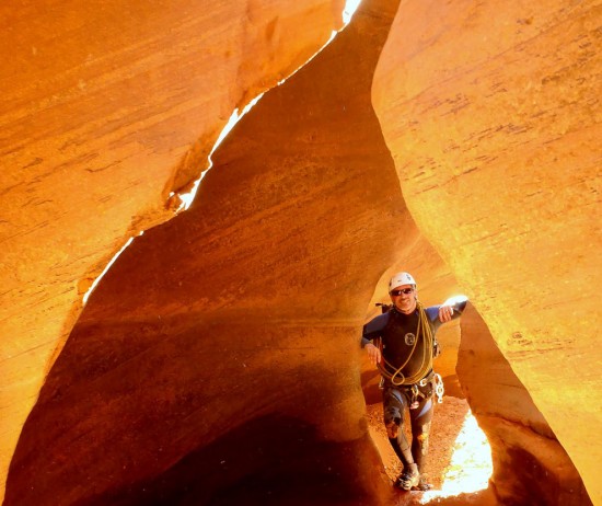
The next day, we descend to the river and find 3 more sets of moqui steps, a strategic leaning tree and with a few bold leads by the crew, we beyond of the river, on our way up to the slot. The canyon had nice lighting, many drops in the 8 to 25 foot range that were solved by captures, sandtraps and fiddlestick releasable anchors. A deep keeper was stemmed over or some were hauled out of it. Another keeper pothole had a natural bridge entry and exit. Never seen that before. Strolling sections were mixed with drops and short wades in a canyon of great water holding capacity. Moqui steps, cut deep but with old lichen in the holes allowed ancient's access to water. In a canyon that showed no other sign of humans, I was in the lead and came upon footprints in the sand. It was decided that it was likely sheep coming down a nearby cliff, also in search of water. A pair of 70 foot or so raps ended the technical section.
With fading light we sprinted toward our fixed lines. Add the weight of the wet gear, the ropes after ascending them and the near 20 liters of water gotten at the pothole, mix in the descending of night and you get the picture of a challenging final hour or two, to a great day.
The next day, we lounge, pack and do the long hike out to the cars and for me, an 11 hour drive through the night to a full day of work. Was the canyon worth the effort? Many may think no. Sometimes, it is in the "doing" that make it so special. Finding our way there was harder than the canyon itself. That is great stuff. That and great and supportive partners. I will return, I guess, when the blisters heal. No name picked out yet, but we are calling it Wingate Willie for now, in honor of our friend who has made the river worth being on again, with his on going war on the Russian Olive. Thanks Bill.
Ram
P.S. The canyon is now called "The Trail of Tiers." Named for the many tiers of sandstone that needed surmounting, on the approach, most often via old moki steps.


