Parunuweap/The Barracks Canyon Summer Hike

On the fringe of Zion National Park lies the little sister of the famous Zion Narrows. Parunuweap Canyon holds the smaller East Fork of the Virgin River, rather than the North Fork that runs through the more famous (and popular/crowded) Narrows. Kat2 (Katherine H) from Hurricane was looking to go backpacking for the very first time - this seemed like a good choice. Flat, local, not too long, secluded, beautiful. Why not! Last time I did this, it was November, and it was nice but a bit chilly, we spent a lot of time avoiding the water, and had to be on top of things because of the limited daylight hours. This time - all different! We stayed in the water, sauntered lazily, and it was way more than nice. Plus, I needed to take summer condition notes for the upcoming second edition of the Zion guidebook. We set Kat's car at the Checkerboard Canyon parking spot and hopped into my truck. We drove to Mt Carmel Junction, headed south briefly, took the dirt road and drove to the sign marking the start of the Barracks Ranch private land. Put the packs on and started walking.
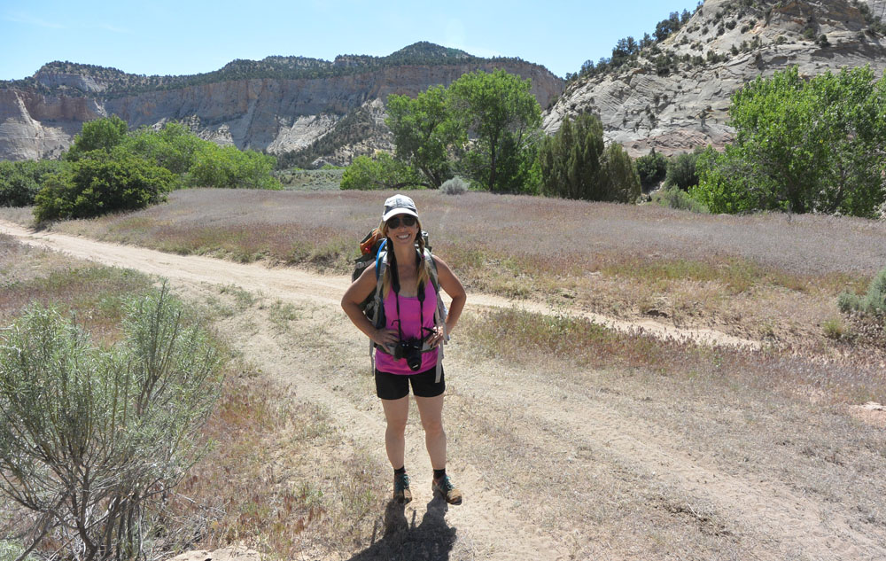
Kat2 roadwalking at the start
Unfortunately, the first section is road walking on a sandy, dusty road. In the full sun. The canyon walls are nice, but the canyon is wide. And unfortunately, if I had thought of it, we could have driven this section... Two hours later, the jeep road/trail turns left and climbs up the hill; the canyon narrows, the journey becomes more pleasant.
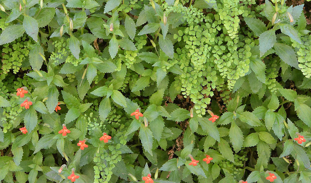
Except for the flies. Green flies, going for the back of our legs. Seems like they were mostly out in the open where it was full sunshine, so we stayed in the stream, in the shade, most of the time. Eventually, we walked away from the flies as the canyon became more narrow. Very pleasant. We sauntered onward. Lots of flowers out. Kat2 was taking a ton of pictures. The scenery was fine. We found a snake, a small snake, fishing in the crick. We took a little sidetrip into Mineral Gulch, then had a bite to eat and a nap. I like canyons where taking a nap is part of the plan!
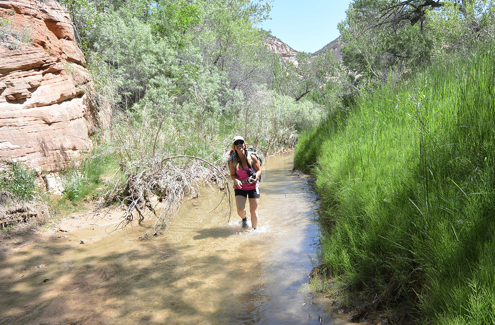
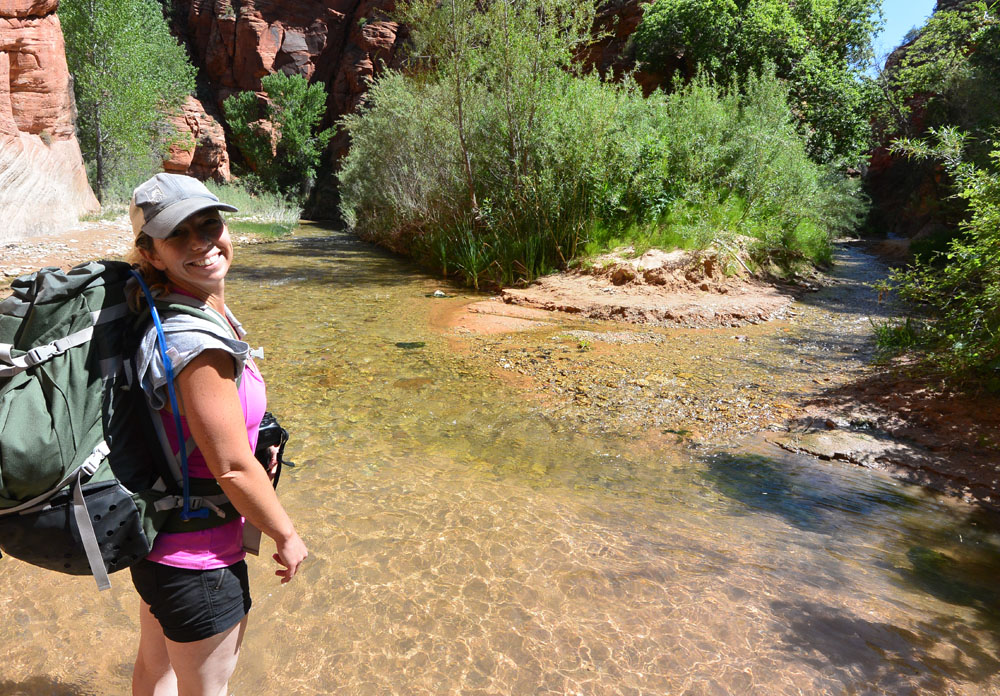
After the roadwalk, hiking the stream.
Another hour of hiking took us to Rock Canyon, our planned campspot, well before dark. We filtered water and had a little dinner. We wandered over to the wonderful rockart nearby. Retired to the tent for a mere 9 hours of sleep, with the sweet sound of the gurgling stream but a few yards away.

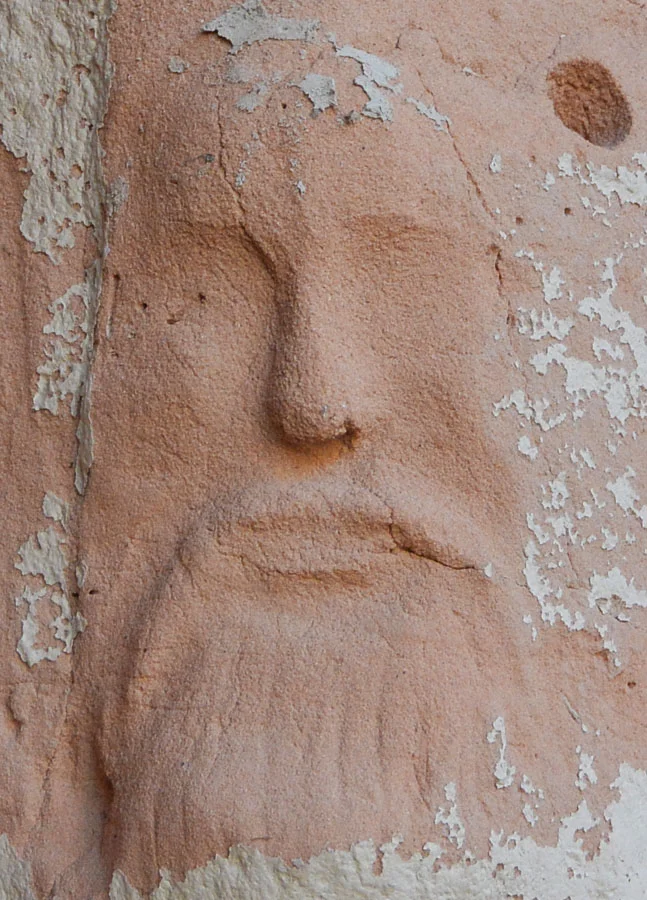
Carved Faces
Up in the morning, on the trail fairly early. The second day of this hike is cursed with the necessity to exit back to the highway. If you find the shortest trail, it still takes 3 to 3-1/2 hours to get out. In the full sun. Uphill. So let's not take too long to get there... which is fine because we were most of the way there. We visited the carved-face place - carved into consolidated sand. A bit of hiking got us to French Canyon, which was surprisingly NOT choked with poison ivy. We sauntered on to Poverty Gulch, a wonderful sidetrip, well worth the hour and a half we spent there. Found another snake. Had another lunch. Then to the waterfall, and the scrambling bypass. Soon we were at the Fat Man's Misery canyon exit, close to our exit. We were on schedule for hiking out, but not with a sidetrip in to the Misery Canyon grotto, alas.

French Canyon
Then we hiked out. It was hot, quite hot. We kept to the east side of the ridge to maximize shade. We followed a good trail up quite a ways. And then the good trail disappeared. The smart move would have been to backtrack to find where we missed a turn. But me being me, "looks like we can get over the ridge here", uh, well, no. We climbed high enough to scare the bejesus out of both of us. Scared ourselves coming back down, too. Dropped into the canyon below (which was only 100 feet lower). Looks like we were in Fat Man's, just below the first rappel. We scrambled around the section and were in familiar territory. Now, all that was involved was climbing steeply up a giant (well, large) slickrock ridge, then climbing another ridge, then another ridge, then up to a pass, and finally down the other side eventually to the car, just as it was getting dark, two hours longer than any exit I have done from the Powell Plaque before. Sorry Kat - who had a long night in front of her, collecting a rental car from the St G airport for her tour the next day.
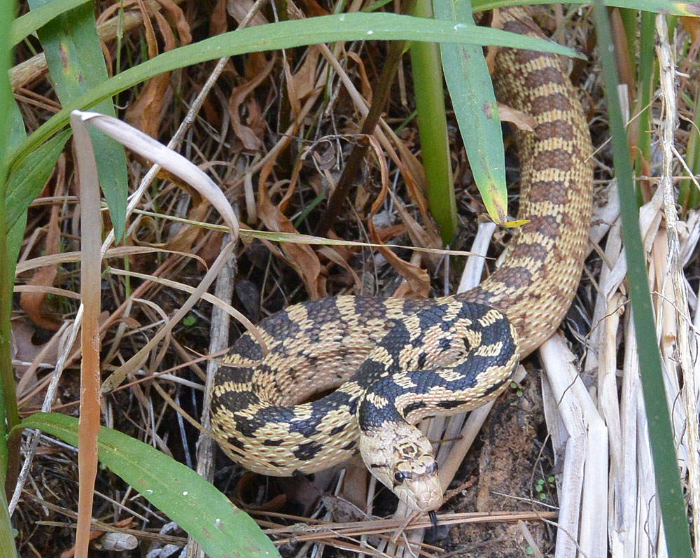
Another Snake
Mission accomplished! A fine adventure. And it is a fine hike, though the exit is not so fine.